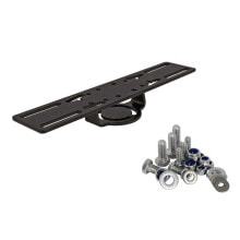
LOWRANCE Gimbal Bracket&Knobs for 12´´ Models
Bestseller
- Product Code:
- 107468647

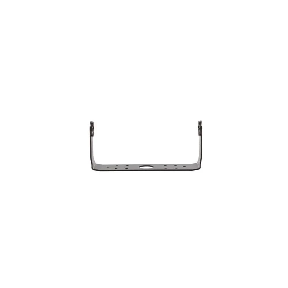
10,832 RUB
Properties
Design
- Size
- HDS-12 Gen2 Touch
- Color
- Black
Other features
- Brand
- Lowrance
Description
High-definition, 12-inch, widescreen color display with touchscreen functionality for fast and easy operation.
Features:
- Easy to use touchscreen – Revolutionary new user interface provides lightning-fast, fingertip access to all HDS features.
- Intuitive menus, cursor assist, snap-to setting markers and innovative preview panes with quick-touch slider bars provide unparalleled control in all weather and water conditions.
- Built-in StructureScan HD sonar imaging - Enjoy picture-like, 180-degree views of structure and fish below your boat.
- Plus, overlay live high-definition bottom imagery on top of your charts using the innovative StructureMap feature. Requires optional StructureScan HD transducer.
- Built-in, award-winning Broadband Sounder - Display and mark gamefish, baitfish and structure at higher speeds and at greater depths – from 1 to 3,000 feet.
- New, StructureMap HD capability – Use recorded StructureScan HD logs to create stunning underwater images of lakes, rivers or seafloor.
- StructureMap can be viewed as an overlay, and toggled on and off to provide the ultimate in situational awareness in relation to both chart and bottom detail.
- Super-accurate, internal 5Hz GPS antenna - 5Hz position update rate provides more accurate trails and smoother chart performance for the maximum in reliable position accuracy.
- Supports Waas/Egnos/Msas corrections. For even greater performance and functionality, add an external Lowrance Point-1 10Hz GPS antenna with built in compass.
- TrackBack to review and save key hotspots - Scroll-back thru Broadband Sounder or StructureScan HD sonar imaging history to review structure or fish targets and pinpoint the location with a waypoint.
- GoFree Wireless ready – View and control select fishfinder and chartplotter displays wirelessly using supported tablets and smartphones and the free GoFree app. Requires the revolutionary WIFI-1 module.
- Extensive mapping options – HDS Gen2 Touch includes built-in charts or bundled map options, and is compatible with the most expansive selection of cartography on the market.
- Options include Insight Genesis, Navionics, C-Map Max-N, and more. All charting options can be used with Insight Planner™ PC planning software. Visit the Insight Store for more details.
- Multi-view and chart sharing – View Navionics cartography simultaneously with the charts of your choice, in 2D or 3D perspective view, with independent control, range and overlay capabilities.
- Plus, get the maximum from your chart card purchases; buy one map card and view it on all networked HDS Gen2 or Gen2 Touch chartplotter displays.
- Depth contour shading and shallow water highlight - Use these new features with Navionics Charts to quickly identify fishing areas of interest or to highlight shallow water areas requiring extra caution.
- New, Insight Genesis personalized maps – Make your own maps using recorded sonar logs, upload data to Insight Genesis account, view secure custom chart detail online, adjust contour lines, add optional vegetation or bottom-hardness overlays, download to an SD card and use on the water.
- Optional video-camera input (video camera input cable sold separately).
- Brilliant, enhanced SolarMax PLUS display for superior sunlight and wider-angle viewing.
- Affordable Nmea 2000 and high-speed dual Ethernet ports.
Specifications:
- Display: Widescreen, 16:9; WXGA TFT LCD
- Resolution: 1280 x 800
- Power Output: RMS (PTP): Max 250W RMS, 30,000W Peak to Peak analog equivalent
- Operating Frequency: (50/200 or 83/ 200 kHz) + 455/800 kHz
- Languages: 36